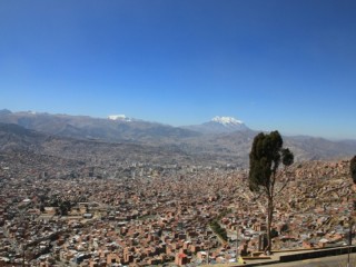
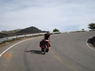
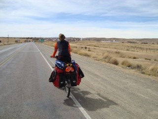
We took the bus from Cochabamba to La Paz. It was a long way of which the first part very hard because of long climbs and the last part boring. And that information was right. From Cochabamba on the climb seemed never ending and the last part was indeed boring.
Continue readingAuthor Archives: ronnielinda
Sucre – Cochabamba
We cycled from Sucre to Cochabamba in 6 days and it was another hard stretch with a lot of climbing. The first day mainly went downhill, so we were allowed some time to get used to cycling again.
After that first day, most of the route went uphill until the last 70 kms (42 miles) to Cochabamba. They went all downhill. Continue readingPotosi and Sucre
It was hard to leave Tupiza, but we had to go on. After 4 days of hard cycling we arrived in Potosi. Potosi once was the most important city in the world (even more important than Rome and Paris) because there was a huge amount of silver in the mountains surrounding it.
Continue readingHorseback riding
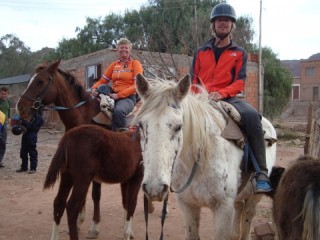
From our German motorcycle friend Frank (who we have met a couple of times in different places) we heard that it was nice to take a horseriding trip. He had also done it and had enjoyed it very much. Ron’s not especially a big fan of horses, but Frank’s enthusiasm helped taking the decision to do it. It would be Ron’s first, but maybe not even last, experience on a horse.
Continue readingStunning southwest Bolivia
We were back in Tupiza, but of course wanted to see the famous saltflats of Uyuni (Salar de Uyuni). So we decided to take a tour. There are daily departures to the Salar and the Southwest of Bolivia from Tupiza and Uyuni. From Tupiza, it’s a 4 day trip.
Continue readingSurroudings Tupiza
We left Tupiza, towards Uyuni, with good spirtits. We knew it was going to be hard, so we carried enough food and water for 2 to 3 days. It went uphill right away, but it was okay. About 4 kms (2,5 miles) after Tupiza the road turned into an unpaved road. Continue reading
(Street)life in Bolivia
Life in Bolivia is on the streets and the (indoor) markets. Besides that there are many very little shops that sell about anything. But the main product they sell is coca leaves (yes, cocaine is really made from these leaves also). Bags full of these leaves are placed in the doorways of the little shops. Continue reading
Bolivia!
The last 70 kms (42 miles) to the border were also not easy. There was a lot of wind, which (of course) came from the wrong direction; right from the front. The wind probable didn’t want us to go to Bolivia and wanted to keep us in Argentina. But we made it.
Continue readingGauchito Gil
Very regularly, we spotted small shrines and sometimes even small buildings with picknickareas and bbq’s, covered in red. We wondered what it was and why all the red and looked it up. They are shrines for Gauchito Gil, a legend here in Argentina. Continue reading
Almost Bolivia
After another well deserved day of rest in Tilcara, it was time for the final stage to the Bolivian border. The first 65 kms (40 miles) were all uphill and therefor hard. We arrived in the town of Abra Pampa, the last larger town before the bordertown of La Quiaca. From here it’s another 70 kms (42 miles) to the border, so we hope to cross it tomorrow.

