• Macará – Loja:: the road goes up steeply immediately after Macará. The whole road goes up and down in long, steep climbs and descents of hundreds of meters. Hospedajes in Catacocha, Catamayo and Loja.
• Loja – Cuenca: uphill till just before the town of Santiago (37 kms, 22 miles), then down to the town. Up again till 5 kms before Saraguro. Down to town (5 kms, 3 miles) and another 5 kms (3 miles). Then up again and up and down. After Oña another downhill of 10 kms (6 miles) and then a long climb of about 60 kms (36 miles), to 3400 meters (10.200 ft). Then 33 kms (20 miles) downhill to Cuenca.
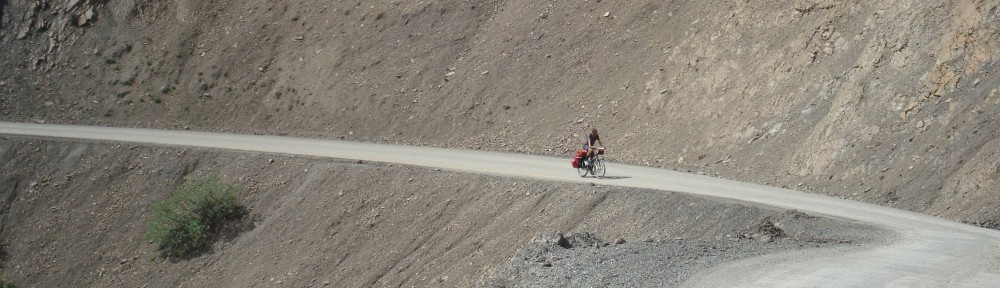
• Cuenca – Guamote: about 25 kms (15 miles) down (till 2335 meters, 7000 ft), then in about 35 kms (21 miles) 1200 meters (3600 ft) up. Down a bit to Cañar (hotels). After Cañar up and down to Chunchi (hotels). To Alausi (hotels) a lot of climbing. After Alausi a steep climb (8 kms, 5 miles; 9 – 12%) and then further up till 3365 meters, 10.100 ft. After Tixan another 8 kms of climbing and then flat with some small hills till Guamote (hotel).
• Guamote – Macas: up to 3500 meters (10.500 ft); all through up and down (1160 altitude meters, 3500 ft). Highest point is Atillo (lakes) where there’s opportunity to spend the night in an old roadworkers camp which is being turned into a hotel. Then a lot downhill, but there are a few climbs (675 altitude meters, 2000 ft). Downhill to Macas.
• Macas – Puyo: is 135 kms (81 miles) and possible in 1 day. No hotels on the route (except after about 60 kms, 36 miles, next to the bridge = lowest point), but you can try to ask in the towns. All the way it’s up and down (1300 altitude meters, 3900 ft).
• Puyo – Baños – Ambato: all up, to Baños (hotels) not very steep. After Baños a bit steeper to Ambato (hotels). Busy road, not very nice. In Ambato Casa de ciclistas of Leo.
• Ambato – Lasso – Machachi (through np Cotopaxi): highway till Lasso, busy. Hilly in the beginning, but then slightly up. Turn to np about 7 kms (4 miles) after Lasso. Everything (steep) uphill, to 3700 meters (11.100 ft). First 21 kms (12 miles) from Lasso are paved, then unpaved and steeper. On highest point is a very nice and free campground, at the base of the volcano. Then down to Machachi on a bad road. Last 15 kms (9 miles) are cobblestones.
• Machachi – Tumbaco (Quito): busy road. Shortcut to Tumbaco is hilly but quiet and nice. In Tumbaco Casa de ciclistas of Santiago.
• Tumbaco – Tulcan (through Reserva Ecologica El Angel): up and down till Cayambe (hotels, sleep at firestation). Right before Cayambe is the equator. After Cayambe almost everything downhill to Ibarra (hotels, camp next to firestation at the lake north of the city) and then another 28 kms further downhill. Turn to Mira/ El Angel and it goes up again. Steep to Mira (17 kms, 10 miles) and a little less steep further, to El Angel (20 kms, 12 miles). From El Angel it goes further up to 3700 meters (11.100 ft) through the Reserva Ecologica. First paved, then cobblestones. On the highest point (17 kms, 10 miles from El Angel) is a refugio where you can sleep (no shower and water from the river, but bed and kitchen). Then to Tulcan (30 kms, 18 miles), mostly down. Road still bad the first 10 kms (6 miles) but gets better after that.
• Tulcan – border: another 8 kms (5 miles) to the border, mostly downhill.