We wanted to cross to the West Coast again and therefor we had to go over Arthur’s Pass, the oldest pass in the country. The Maori’s already used this pass for hunting. The plan was to follow the main road, almost back to Christchurch and then go over the pass. That meant that we also had to go over Porter’s Pass; higher and steeper than Arthur’s Pass. But then another cyclist gave us a very good tip.
We could take a shortcut by taking the road to Lake Coleridge and then continue to Lyndon Lake, where we would get back on the main road to Arthur’s Pass; quieter and smaller road, partly unpaved so always nice and a shortcut. But another important benefit was that we would get back on the road right after Porter’s Pass so it saved us a steep climb. We still had to go up, but not as far, not as steep and on a quiet gravel road.
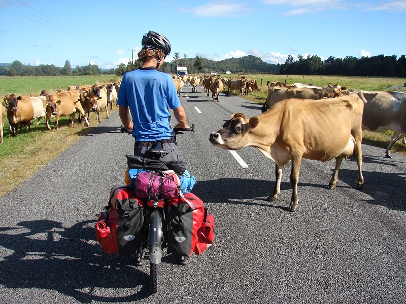
So that’s what we did and haven’t regretted it for one second. After a night on a campground in a beautiful gorge, Raikaia Gorge, we left the main road and cycled on a small and indeed quiet road. Beautiful scenery with the mountains getting closer and closer. The last 17 kms (10 miles) were unpaved and we climbed very gradually. We didn’t see many cars, so we had the whole road to ourselves. It was great. We got back on the main road at Lyndon Lake, towards Arthur’s Pass. And that’s when it got hard; one steep hill followed the other, even up till 13%!
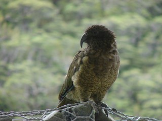
After a quiet and rainy night beside a river, we started the last part to the top. It was still raining and slowly we gained altitude. We cycled through Arthur’s Pass Village, where the weather got much better. We saw the first Kea of this trip there; a very mischievous and perky parrot-like bird who eats (or tries to eat) everything he sees. Even bike saddles are not safe around these birds.
Then another 4 kms (2,5 miles) to the 3025 ft top. The climb itself wasn’t that hard, we’d expected it to be harder. Before we knew it we were at the top. We had read that the climb from the other side was much harder and steeper and it was! Parts of 16% and after 5 kms (3 miles) of descending we had lost 500 meters (1500 ft) of altitude. It was so steep that breaking to get to a complete stop was almost impossible. The rims were so hot we had to stop to let them cool down. Around us we could smell the hard working engines of cars going up and the breaks of cars going down. After those first 5 kms (3 miles) it became less steep and we rolled down further smoothly and with the sun in our faces.
Through another quiet little road by Lake Brunner, we ended back up in Greymouth where we also ended after the Lewis Pass. This time we’re not going south, but north. Right now we’re at a campground in Rapahoe, a little north of Greymouth, on the coast. We’re almost camping on the beach. It rained again, but we did see a beautiful sunset…


Yep, looks pretty steep!! Keep the rubber on the road 🙂